North Carolina formed Rockingham County in 1785, out of what was previously the northern half of Guilford County. It was named in honor of Charles Watson-Wentworth, 2nd Marquess of Rockingham. Watson was born May 13, 1730, at his family’s ancestral estate, Wentworth Woodhouse, near Rotherham in Yorkshire, England. As Prime Minister from 1765 to 1766, Rockingham gained support from the American colonies by repealing the Stamp Act. During his second term, from March to June 1782, he helped begin peace negotiations and supported American independence. Between his two terms, he continued to support the colonies during the American Revolution while leading the opposition group known as the Rockingham Whigs.
The issue of the American colonies dominated Rockingham’s first appointment as Prime Minister. He moved to pass legislation repealing the Stamp Act and reducing duties applied to molasses. Not all of his legislation was favorable towards the American colonists, as he shepherded the Declaratory Act, reasserting Parliament’s authority to pass laws governing the American colonies. Infighting eventually crippled his cabinet’s ability to govern, forcing Rockingham to resign in July of 1766. In the sixteen years between his appointments as Prime Minister, Rockingham led opposition towards the three intervening Prime Ministers. Rockingham generally supported the constitutional rights of the American colonies and was opposed to the military efforts to suppress the American Revolution. During the brief four months of his second appointment as Prime Minister, Rockingham initiated the negations that would culminate in the Treaty of Paris, in 1783.
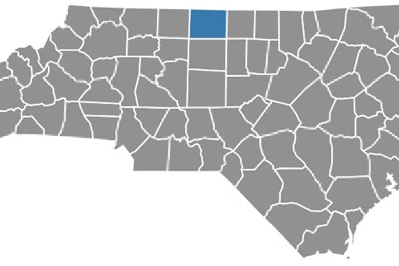
Located along North Carolina’s northern border with Virginia, Rockingham County covers 572 square miles and borders Caswell, Guilford, and Stokes counties in North Carolina, as well as Henry and Pittsylvania counties in Virginia. The county has a population of approximately 93,500 and includes six municipalities, with Wentworth serving as the county seat. Positioned between two major interstates—I-73 to the west and I-785 to the east—Rockingham County offers strong regional and national connectivity. Once known for agriculture, tobacco, and textiles, the county’s economy has evolved to include consumer product manufacturing, including food and pet products, automotive and industrial components, personal care and hygiene products, textiles and apparel, and packaging and plastic products. Backed by proactive leadership and strong infrastructure assets, these industries continue to experience sustained growth. With four rivers, three lakes, two state parks, and miles of developed trails, Rockingham County is also growing a vibrant outdoor recreation economy. Together, its natural assets and strategic location make it an appealing place to live, work, and play.