Author: Andrew Duppstadt, DNCR
This article is scheduled to appear in Recall, the magazine of the North Carolina Military Historical Society, and is published here with permission.
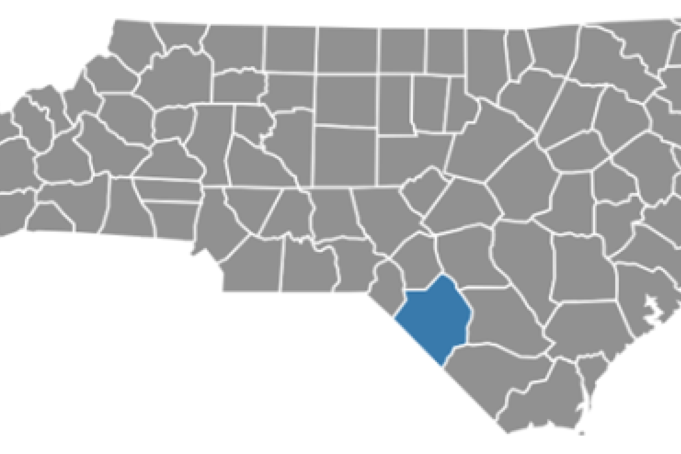
North Carolina formed Robeson County from Bladen in 1787, in honor of Colonel Thomas Robeson, one of the Patriot leaders at the Battle of Elizabethtown in September 1781. Thomas Robeson was born in 1740 in Bladen County and grew up on the Cape Fear River at his family’s plantation, Walnut Grove. In 1763, he married Mary Bartram, niece of the acclaimed botanist John Bartram, and together they had five children. Thomas was active politically, serving in both the Third and Fourth Provincial Congress, and served as colonel of the Bladen Militia. He fought in the Battle of Moore’s Creek Bridge and was involved in the internecine warfare around the Cape Fear and Lumber rivers. On September 28, 1781, forces led by Robeson attacked and defeated the Tory militia at the “Tory Hole” near Elizabethtown. Thomas Robeson died in May 1785. His grave is near the Robeson family vault, located in his namesake county.
Located in southeastern North Carolina, in the Sandhills region, Robeson County encompasses 949 square miles and, as of the 2020 census has an estimated population of over116,000. . It is bordered by Bladen, Columbus, Cumberland, Hoke, and Scotland counties in North Carolina, as well as the South Carolina counties of Dillon, Horry, and Marlboro.
Many of the early European settlers in the area were Highland Scots, who remained loyal to Britain during the American Revolution, but Indigenous people have lived in the region for 20,000 years. Modern day Robeson County is also home to the Lumbee tribe. Robeson County’s population is one of the most diverse in the state with American Indian (37.5%), White (25%), and African American (22.5%) as well as Hispanic (10%) and multi-racial (4%).
The economy in the county is largely agricultural, with manufacturing, education, and health care. Retail, and food service, making contributions as well. The county seat for Roberson, as well as the largest municipality in the county, is the city of Lumberton. There are numerous other towns including Fairmont, Parkton, Pembroke, Red Springs, and St. Paul’s. The county is served by I-95 and future I-74, making it a transportation crossroads in the southeastern part of the state. The county is home to Lumber River State Park, Robeson Community College, and the University of North Carolina at Pembroke.
For more information on the Military Society, visit: https://www.ncmilitaryhistoricalsociety.org/